Transfer to the Index ** Next Depot South
Millersport, Fairfield County, Ohio
1920 Population 370
Millersport was located on the New York Central Railroad (T&OC - Eastern Branch) between Hebron to the north and Thurston to the south. The Eastern Branch ran from Toledo to Thurston.Millersport was situated on the west bank of the Licking Reservoir (Buckeye Lake) a water source for the Ohio-Erie Canal. The canal ran through the middle of the village which was built as a port for the canal. Several of the photos show scenes of the canal.
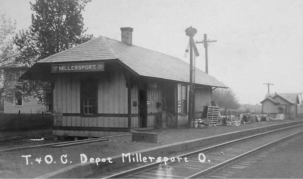
Photo from the Dan West (http://west2k.com/ohio.htm) Collection, c. 1910
Scenes Around Millersport
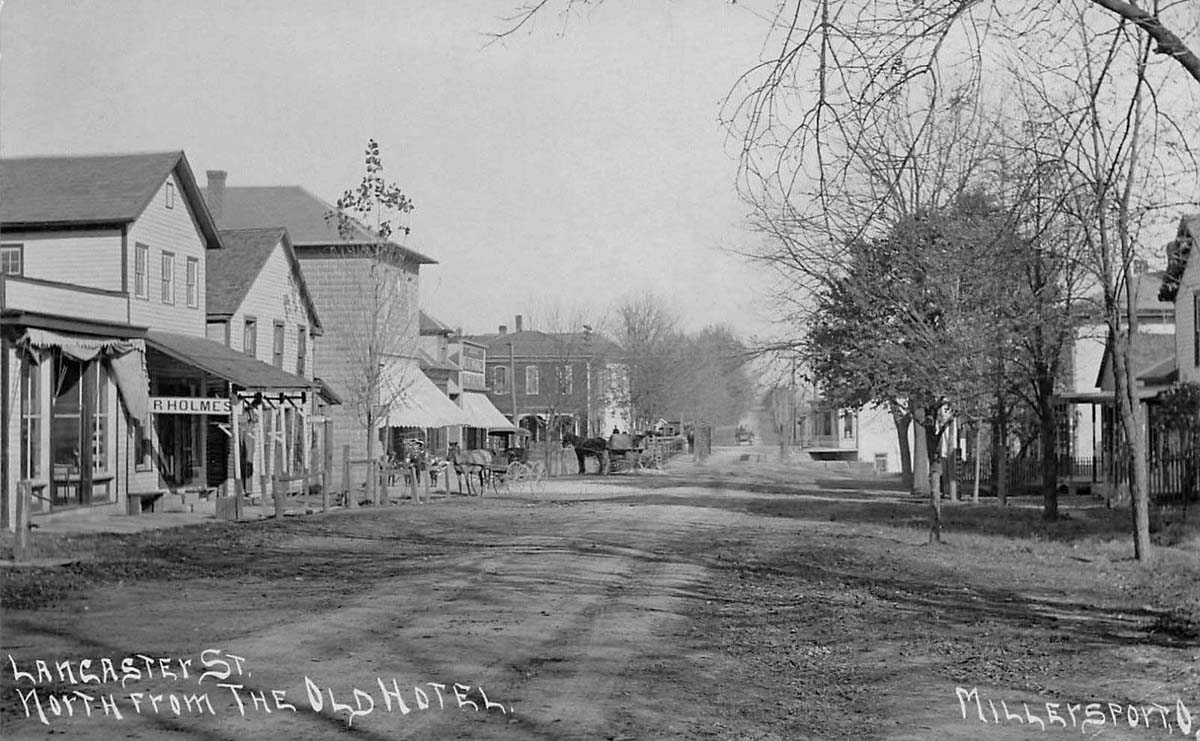
Lancaster Street crosses over the canal in the middle of the picture. Click on the photo to better see the bridge.
Photo from the David A. Meyer Collection, 1908
Photo from the David A. Meyer Collection, 1908
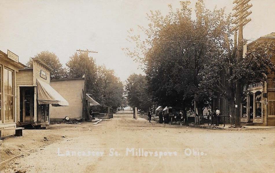
Another view of the canal bridge.
Photo from the Alex Campbell Collection, c. 1910
Photo from the Alex Campbell Collection, c. 1910
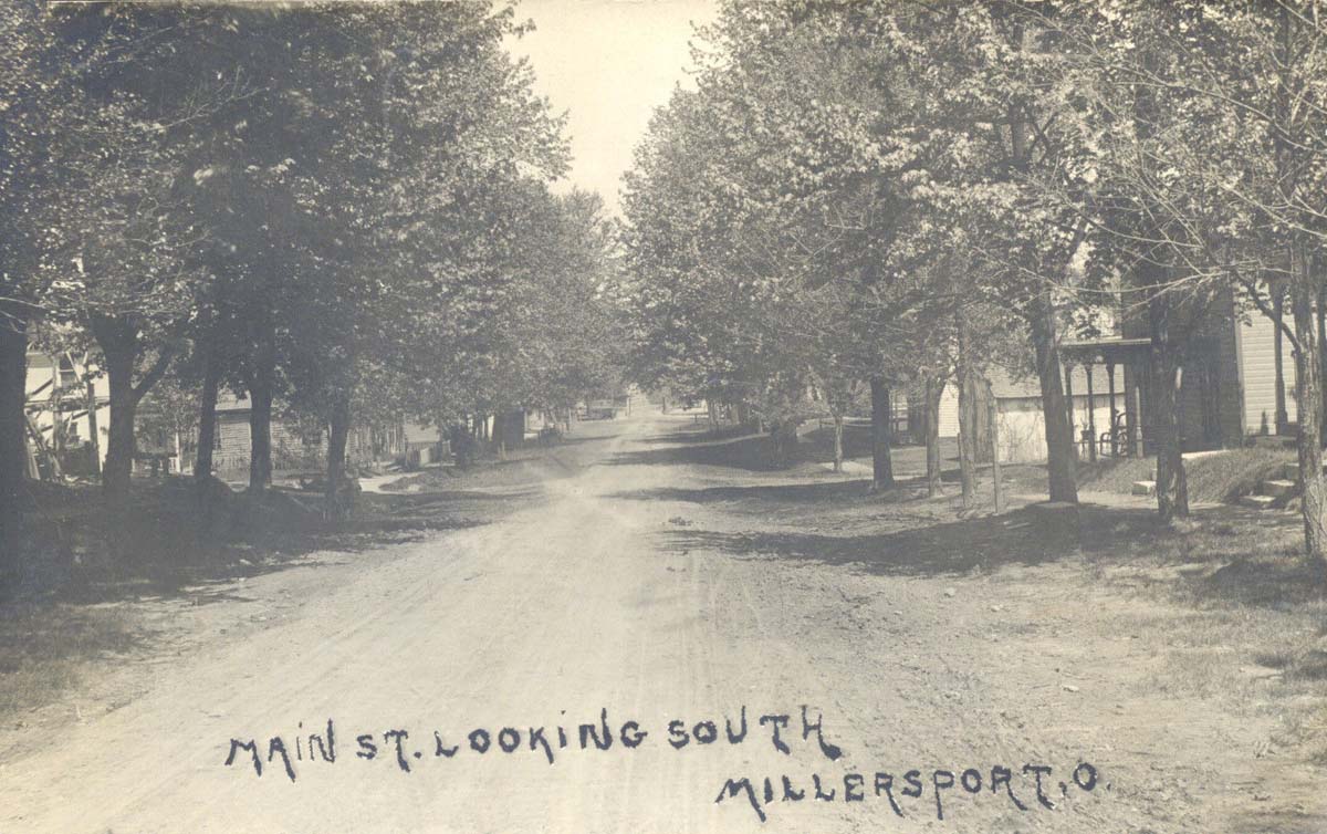
Photo from the Alex Campbell Collection, c. 1910
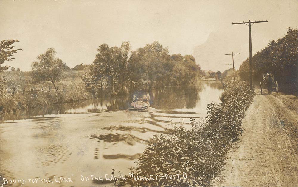
A bucolic scene along the canal.
Photo from the Alex Campbell Collection, c. 1910
Photo from the Alex Campbell Collection, c. 1910
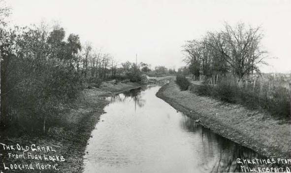
The Pugh Locks were located south of Millersport just south of a formidable barrier for the original canal builders called the Deep Cut.
Photo from the Mark Howell Collection, c. 1910
Photo from the Mark Howell Collection, c. 1910
Bibliography
Meyer, David A. Life Along The Ohio Canal - Licking Reservoir To Lockbourne And The Columbus Feeder, Canal Winchester Historical Society, 1998
Transfer to the Index ** Next Depot South